After our stint in Redding, we were ready again to traipse down the by-ways of Norcal and onto greener pastures. Our trek brought us through the boiling pools of once and future volcanoes, and onto the peaks of the western slopes of the Sierra Nevadas.
We’d spent five days bedded down in Redding, taking care of dangly trailer parts and other urgent needs. An RV park on the banks of the Sacramento River put us in a central location to get to know the place, and the town itself held lots of charms but little good Mexican food.
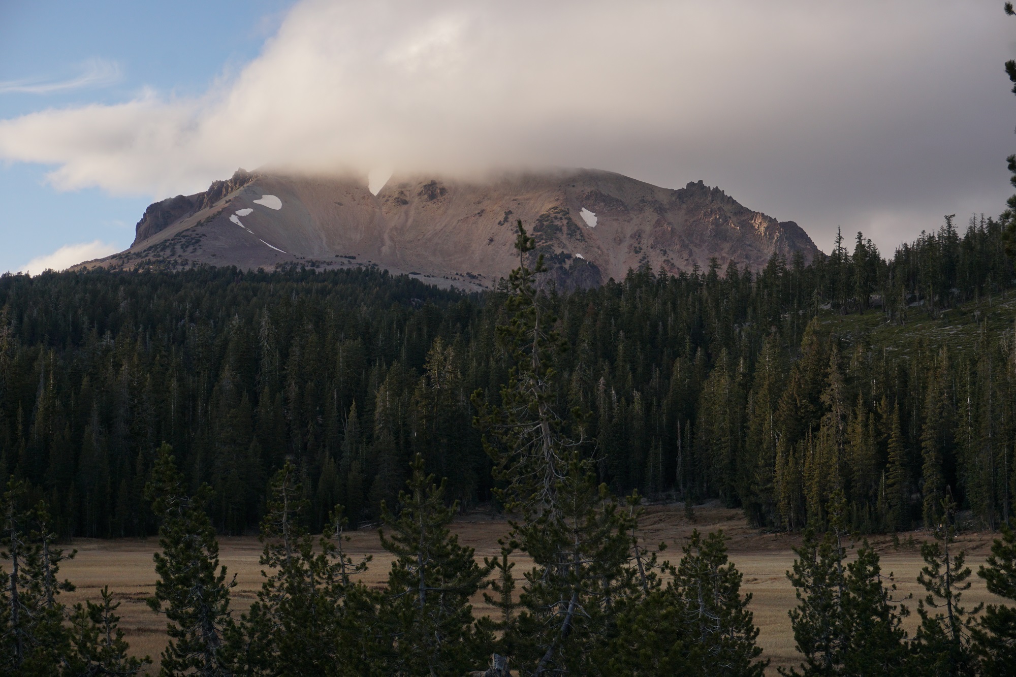
We tailed west and south, with our path taking us through Lassen National Park. A chopped volcanic jumble gave way to forests, until, rounding the east side of the mountain itself, the eruption of 1915 was evident everywhere. Pyroclastic flows had scoured the landscape, and it looked like an ash glacier was moving down the mountainside.
With trailer in tow, we wound up to 8500′, right on the shoulder of the Lassen Massif. Sulfurous stenches sinewed up from Little Hell Valley, and in the evening light the steam pouring out of the chasm made it plain the volcano was not done grumbling.
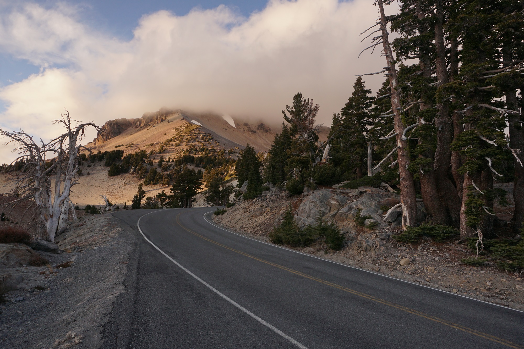
A last, over-the-shoulder look at the cloud rimmed peak of Lassen. We were running late, and with camp over an hour’s distance south, we pressed on to try and make it by nightfall.
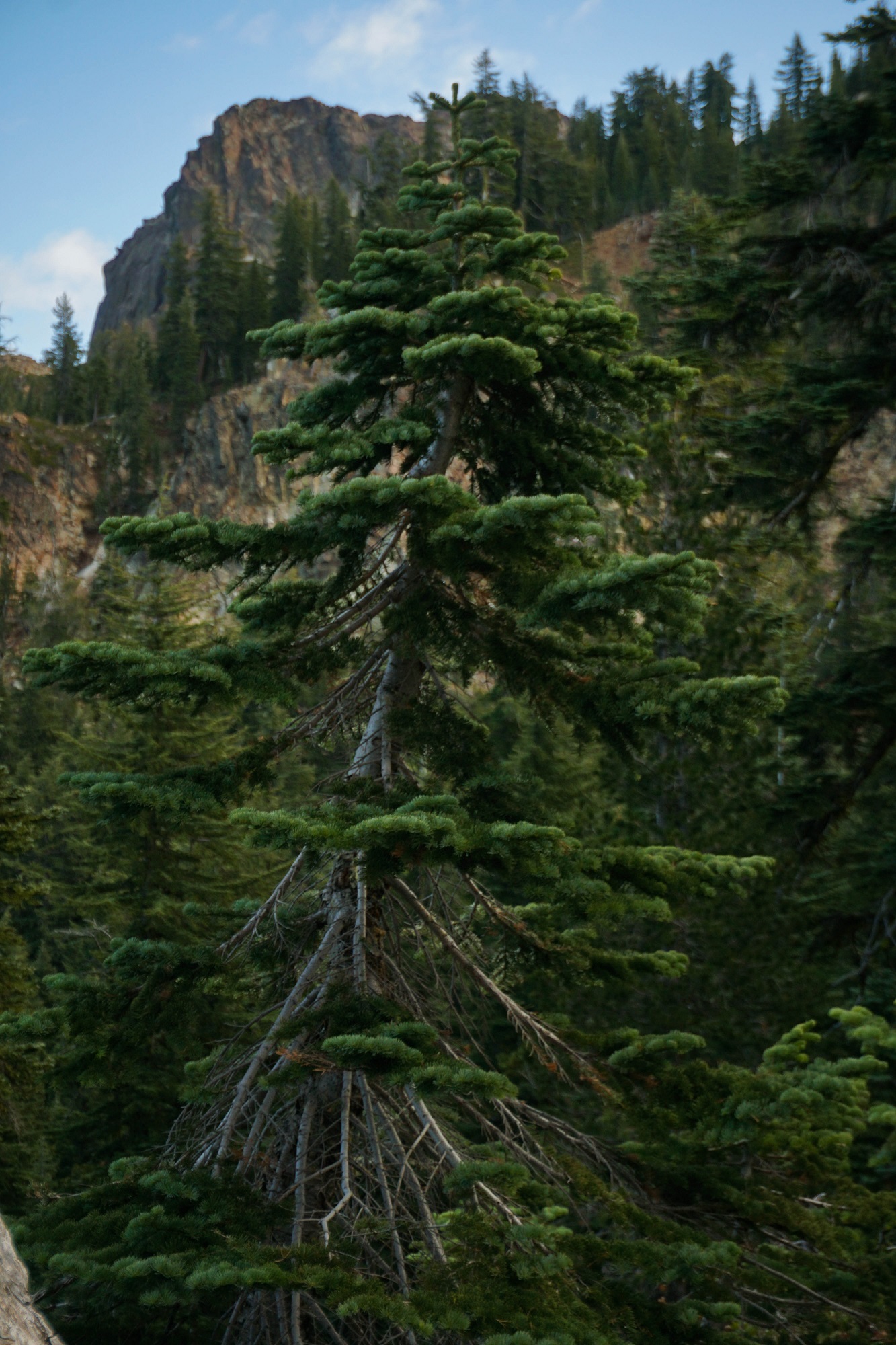
The morning’s sun revealed the Sierra Buttes, a craggly set of granite and schist knobs rising over 3000′ above an idyllic trio of lakes in its shadow. Our goal that day was the fire lookout on top of one of the peaks. A spruce and fir frame the targeted knob, with the lookout barely visible at its crest.
As we wound our way up the mountain, the little box of the far-away fire lookout became more distinct.
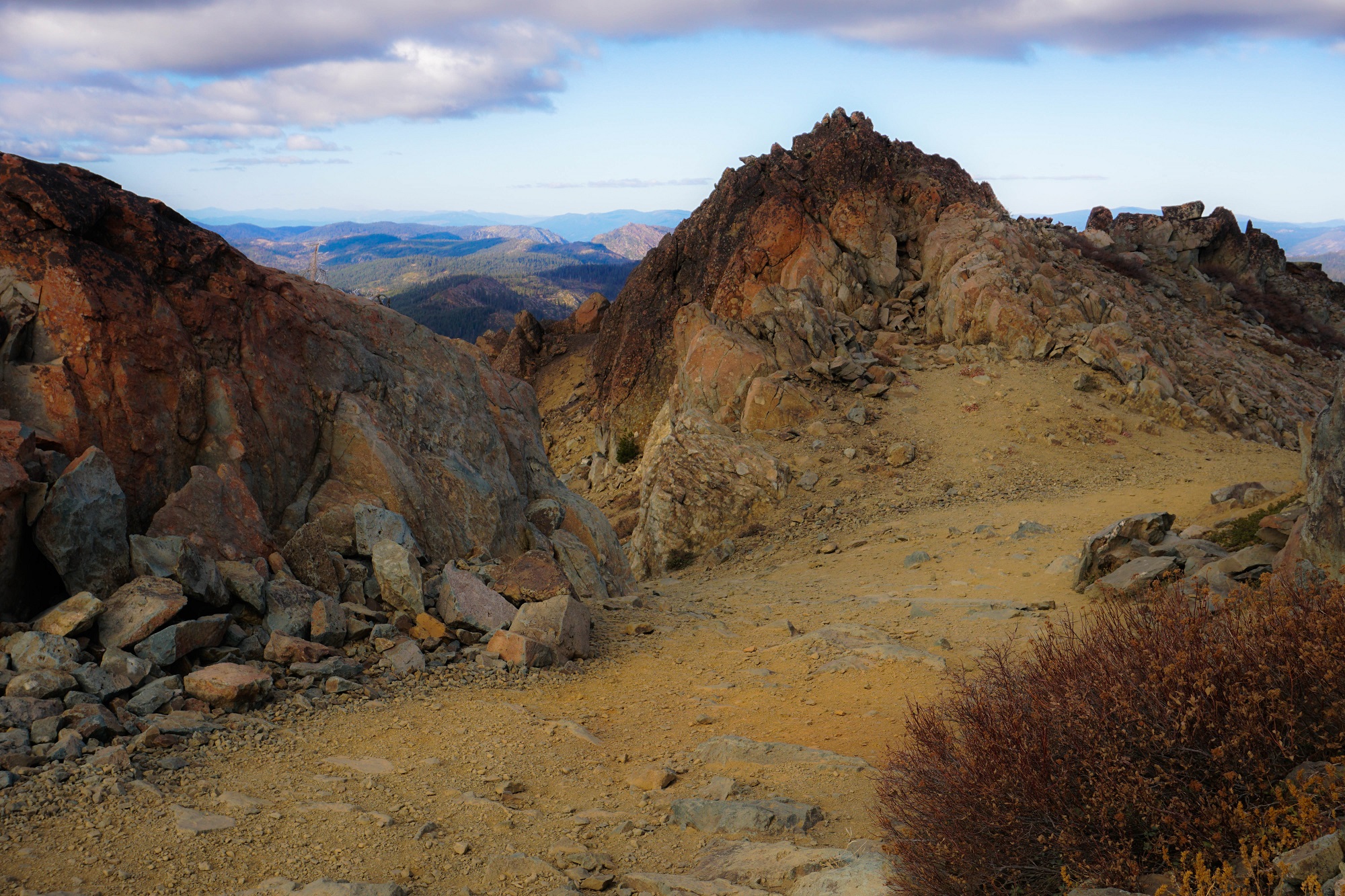
The trail climbed through old growth cedars as we went, and the serpentine rocks that the 49er’s relied upon to point towards gold began appearing more often. We were in the land of the Mother Lode!
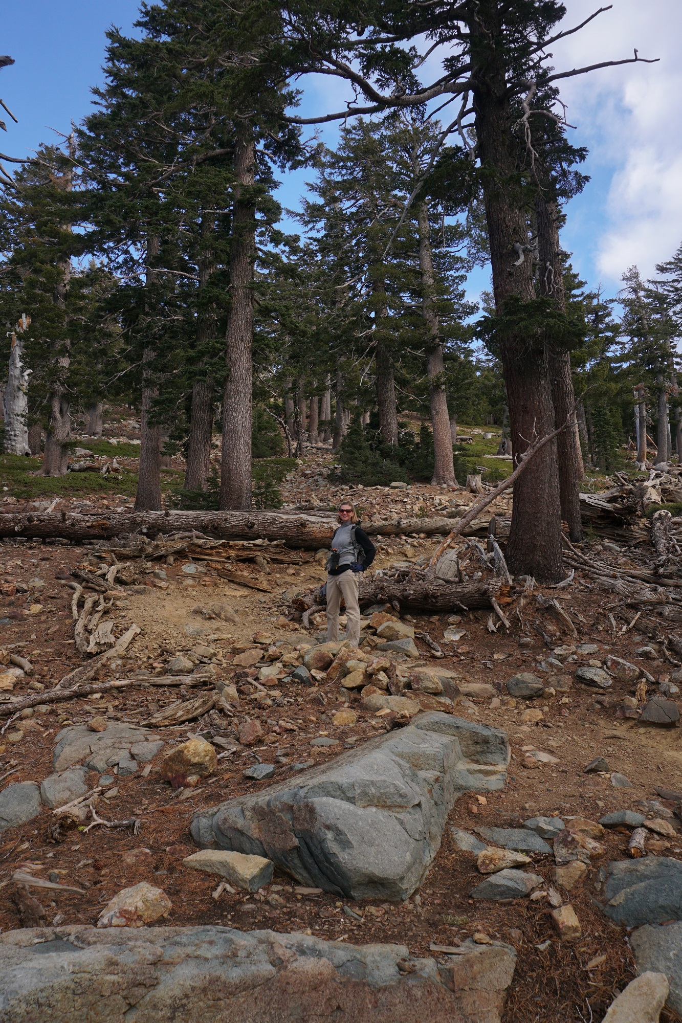
We soon popped out of the forest proper and into the krummholz, where the air was too rarified for tall tree growth. Stunted evergreens stood Christmas tree-like against the backdrop of the fire lookout, still some 800′ overhead.
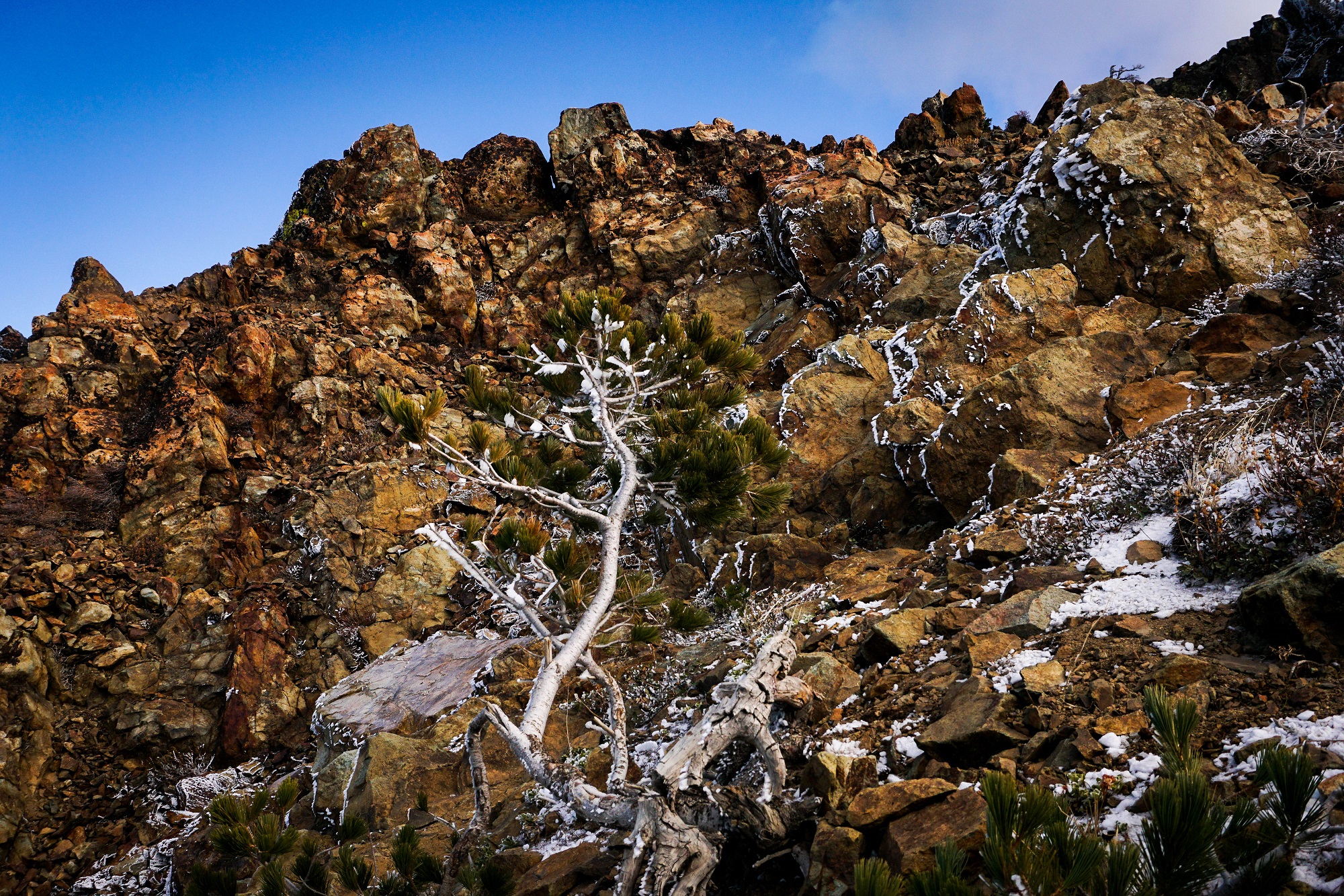
Once we passed the 8k mark, the hoarfrost stayed put on all the jagged edges. Here’s a little overburdened twig that looked surreal next to the serpentine that surrounded it.
Coming to a break in the trees, I sidled up to the edge to look back down on our path. That’s Upper and Lower Sardine Lake far below, with little Volcano Lake in the middle. The view east was impressive, and lent credence to what we’d heard about this being one of the more scenic spots in the Sierra Nevadas.
Finally we arrived at the Fire Lookout. After climbing the 100 or so steps to the top, I looked back to marvel on the rigors of construction the folks must have face to create the platform, way out here on the top of the top.
Just to the right was an inscription in the granite of a name and a date: 1888! This was hard rock mining country, and the hills below were festooned with 49er’s, back in the day. In fact, a 112 pound nugget was pulled from the rock in the 1850’s. The inscription showed that the miners were thrill seekers too!
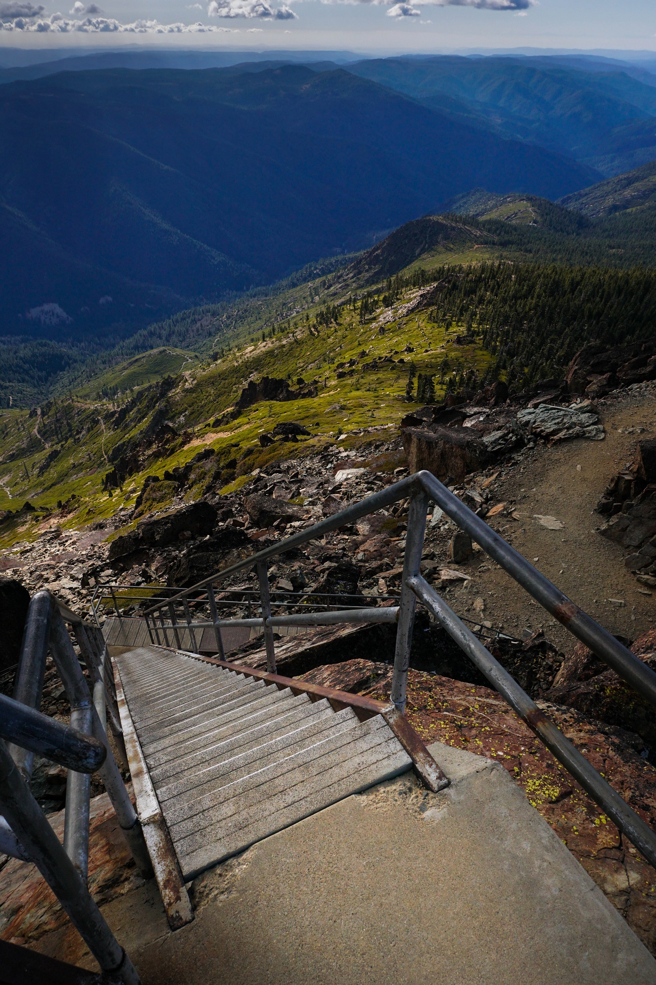
The view looking southeast, toward the 10K’ peaks just outside Lake Tahoe. The ice was cracking from the railing as we walked around, and with the see-through floor, it was all a little head-spinningly exposed. I couldn’t imagine riding out a lightning storm in the little hut on top.
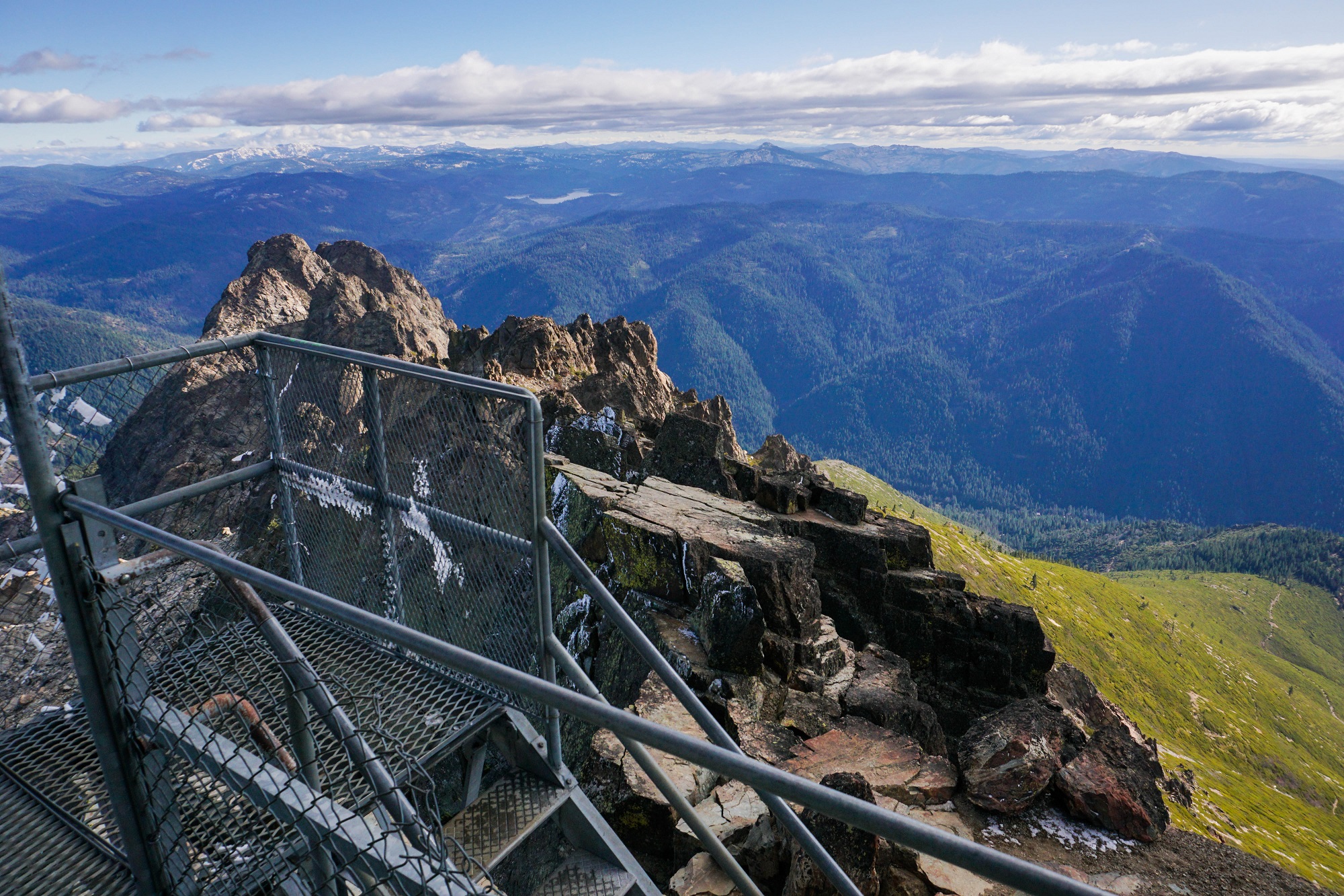
The landscape dropped away to the north, affording us an 80 mile view back toward Lassen and the direction we had come from to get to this amazing place.
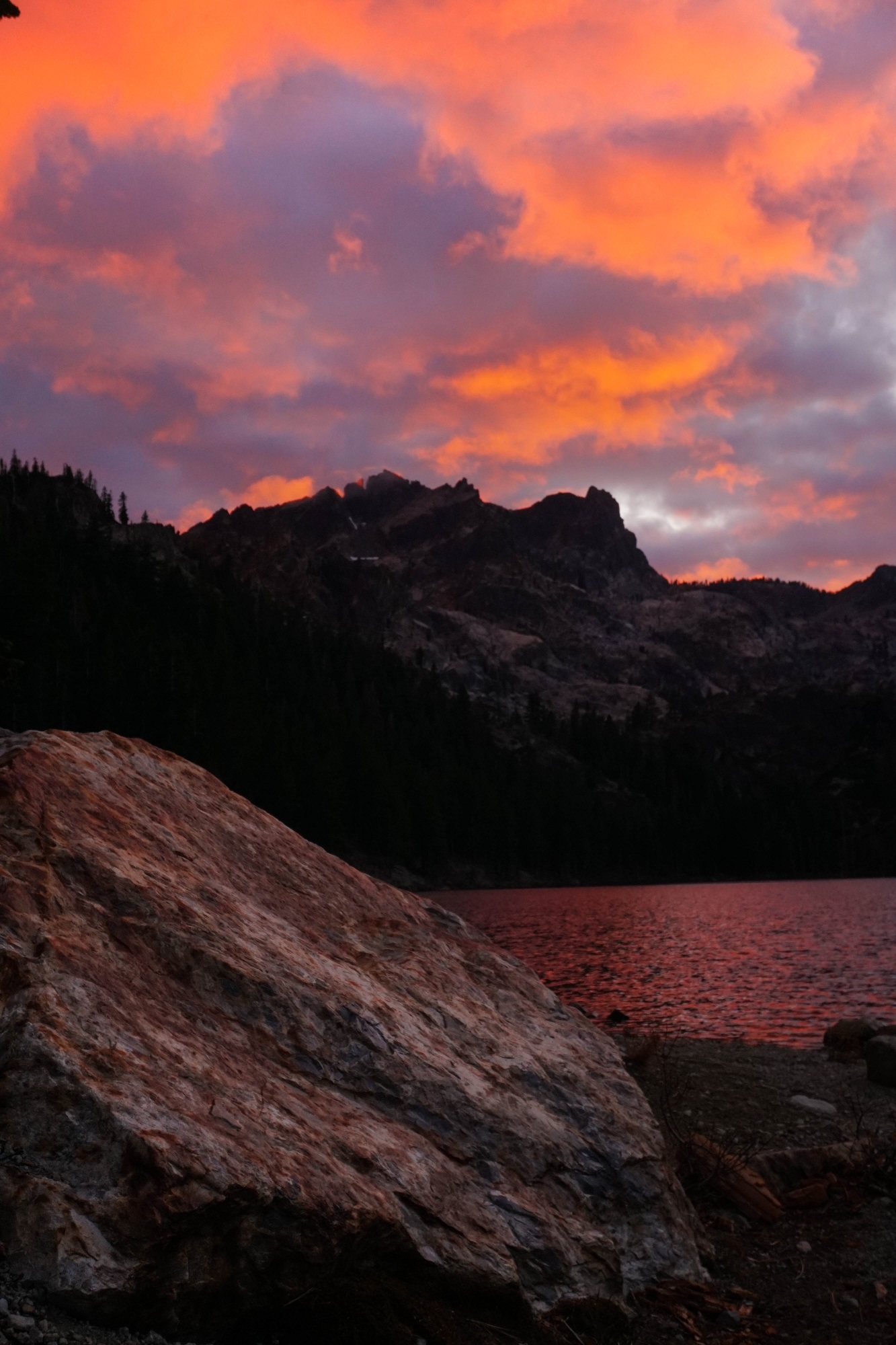
Later that evening, I stole away for a walk to the shore of Lower Sardine Lake. The sky was on fire for ten minutes, and the black waters provided a perfect reflecting pool for the heights we’d climber earlier that day.
Again, nobody at all in the campground for our entire stay. Travelling on the season’s shoulders definitely has its rewards!